Abstract:
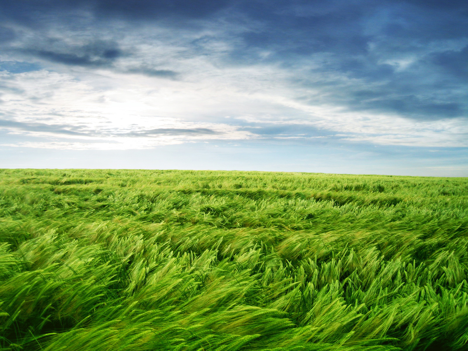
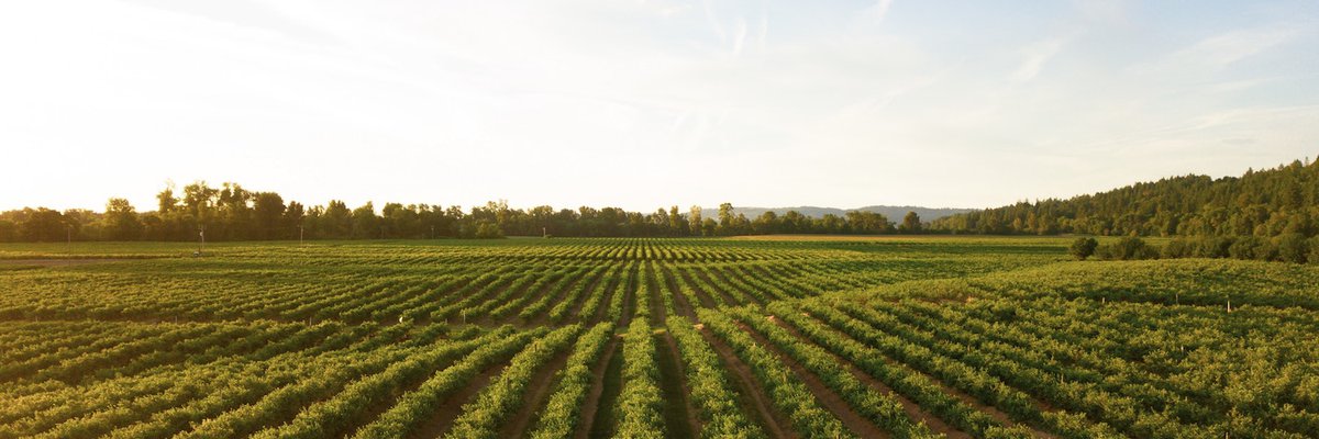
Paraguay is a South American paradox in some ways. It is a landlocked country which will soon become the largest exporter of hydro-electric power in the world. A close examination of the geography of Paraguay reveals that it has two distinct topographical regions which are divided by the Paraguay River. The origin of the river is in the northern part of Brazil and flows into the Atlantic Ocean with the La Plata River near Buenos Aires. Ninety percent of the population of Paraguay lives in the eastern part of the country. Tropical forests, gently rolling wooded hills, and fertile grassy plains abound in this region. The climate is subtropical with an average rainfall of 1200 to 1800 millimeters (48-72 inches). The western part of Paraguay, known as the Chaco Boreal, is covered with dense scrub forests and marshes. Only five percent of the country's population live in this region. Here the rainfall averages about 600 to 700 millimeters (24-36 inches) yearly. Temperatures in the Chaco are much hotter than in the eastern part of the country.
Keywords:
Paraguay, international agriculture
| [ ] | 564 kB |